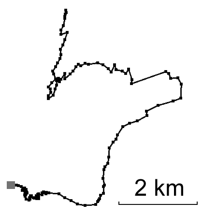
Track: Safiental
User: TracingTracks
Location: Safiental valley
Distance: 14 km
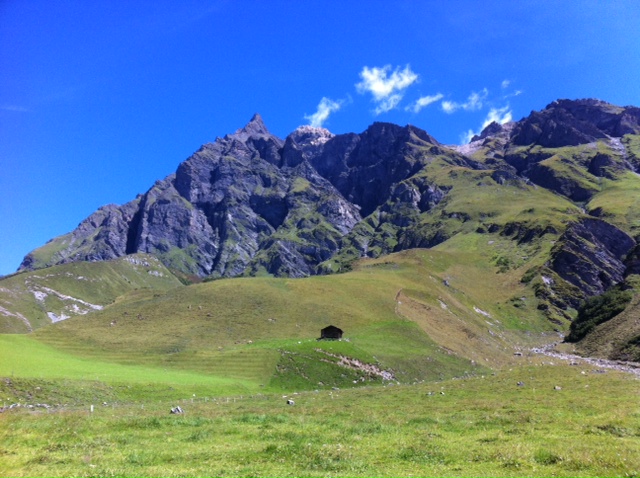
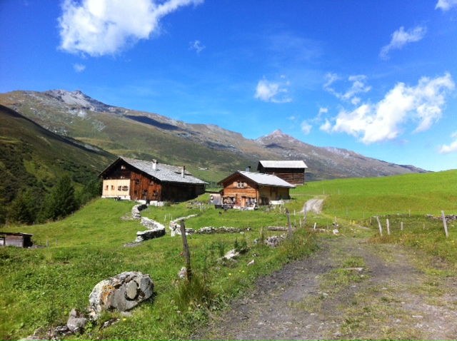
A nice hike in Graubünden, Switzerland in the Valley Safien, near by the famous Rheinschlucht.
Date: 21 August, 2014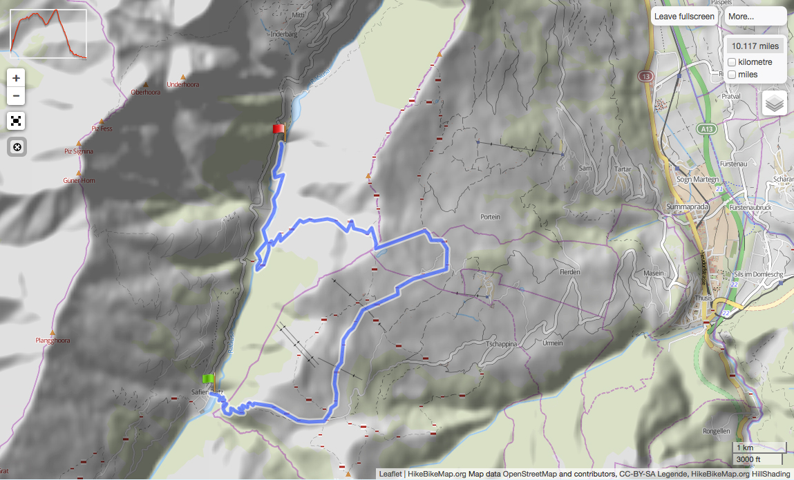

Trace this track: Safiental
Either use your current location, or enter the decimal coordinates of your desired starting point. If you are using a mobile, make sure your Location Services are enabled.
Because GPX data uses a specific location, we have a built-in GPX converter that will map the Track to your desired start location. Either use the simple "Detect My Location" option, or enter your latitude and longitude, using positive or negative decimal numbers (eg. Rio de Janiero at 22° 54' 0" West and 43° 12' 0" South would be -22.9 and -43.2). If you are on a mobile and logged in, we can email the GPX track directly to your registered email address.
For more information how to find your coordinates, please see our HOW TO.