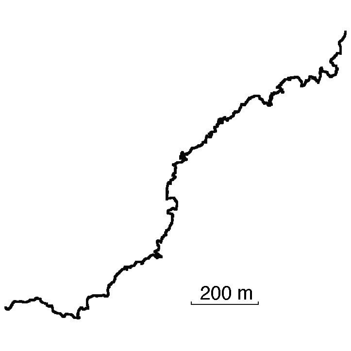
Track: Grouse Grind
User: TracingTracks
Location: North shore of Vancouver, BC
Distance: 2.9 km
Grouse Grind is a popular hiking trail in Vancouver. It is steep and challenging, rising 850m in less than 3 km. Locals track their times.
This track and images are courtesy of Joe Bonar.
Date: 01 August, 2014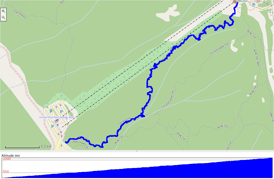
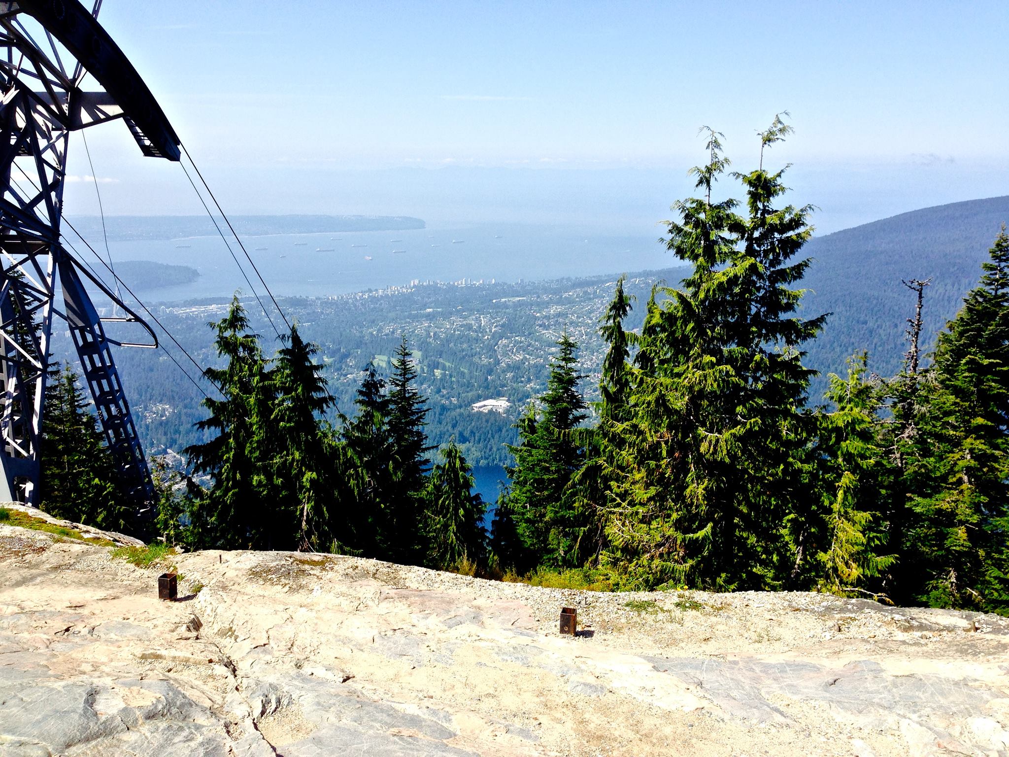


Traces of Grouse Grind
Add A Trace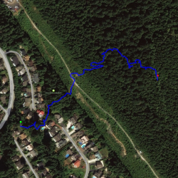
Trace this track: Grouse Grind
Either use your current location, or enter the decimal coordinates of your desired starting point. If you are using a mobile, make sure your Location Services are enabled.
Because GPX data uses a specific location, we have a built-in GPX converter that will map the Track to your desired start location. Either use the simple "Detect My Location" option, or enter your latitude and longitude, using positive or negative decimal numbers (eg. Rio de Janiero at 22° 54' 0" West and 43° 12' 0" South would be -22.9 and -43.2). If you are on a mobile and logged in, we can email the GPX track directly to your registered email address.
For more information how to find your coordinates, please see our HOW TO.