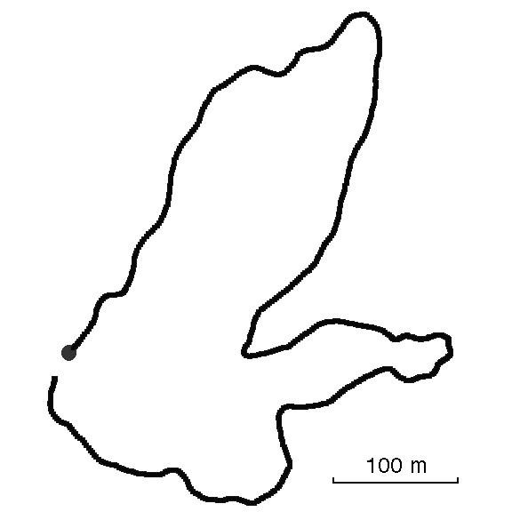
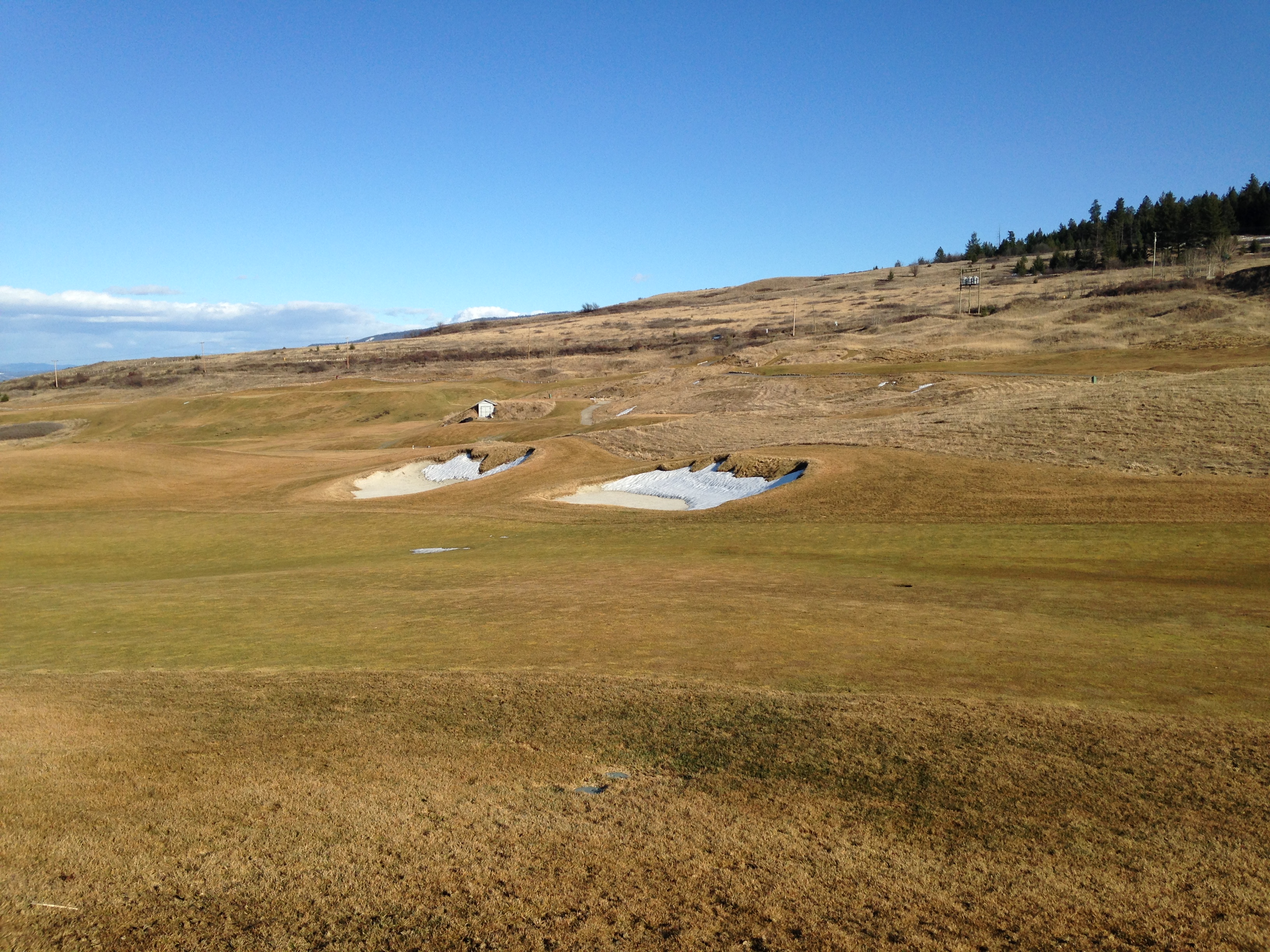
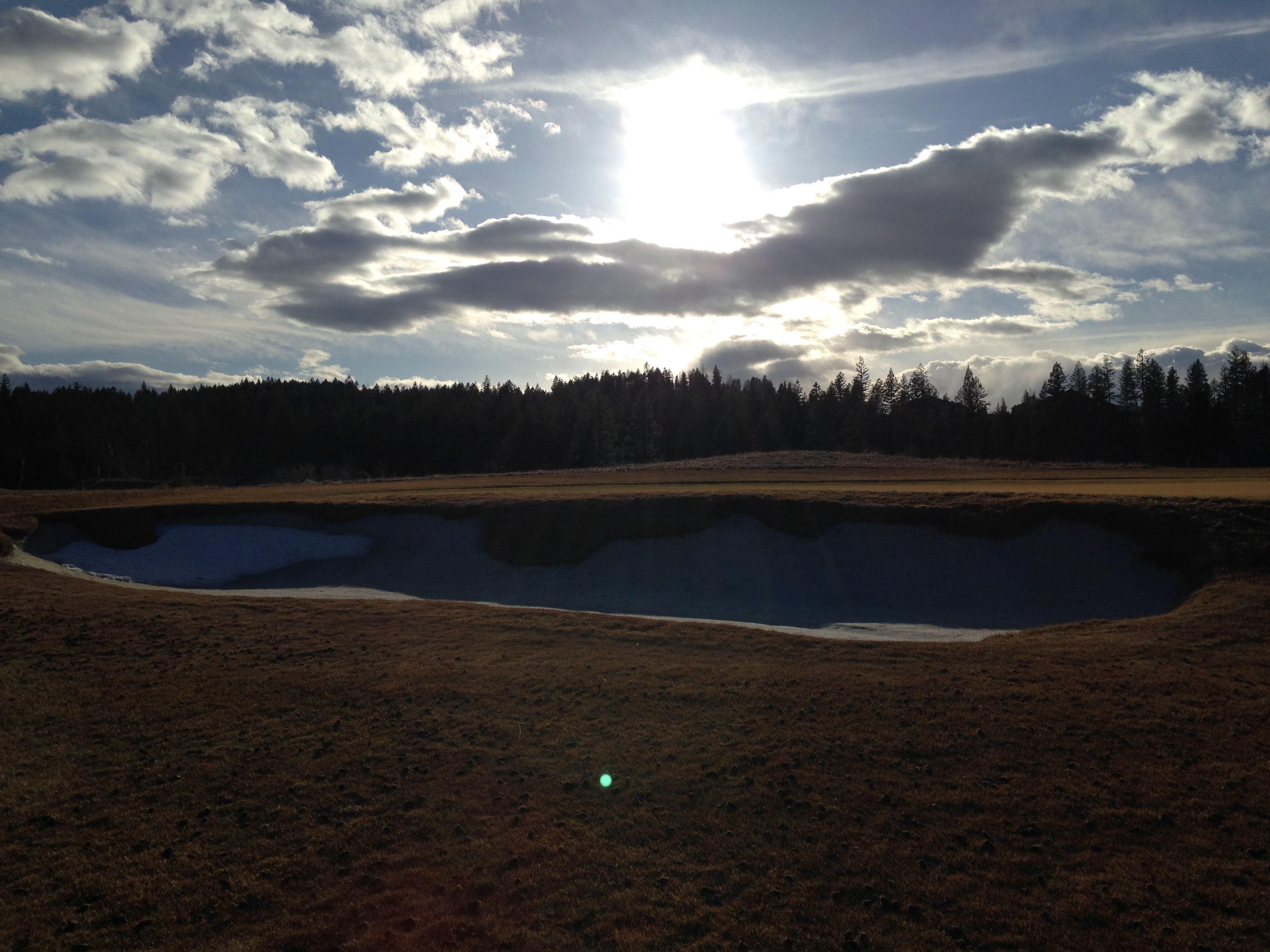
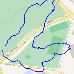
Track: Golf Course
User: TracingTracks
Location: Predator Ridge, near Vernon, BC, Canada
Distance: 1.5 km
A short end-of-winter walk around one end of a golf course.
Date: 17 March, 2014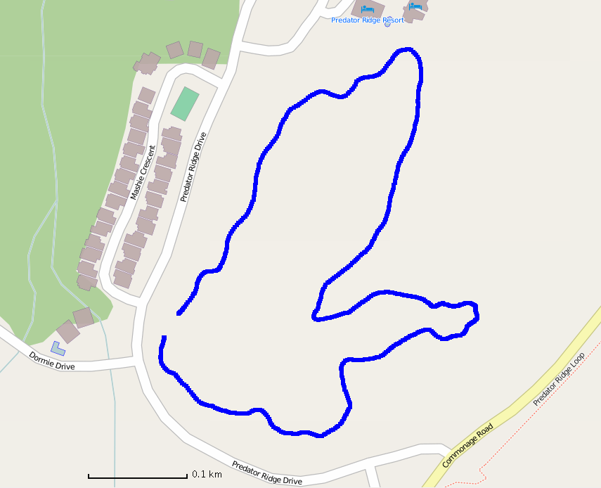

Traces of Golf Course
Add A Trace-
Trace by: Edith Flueckiger
Location: Halifax
Distance: 1.5
During building up our exhibition (im)mobile in Dalhousie Gallery Germaine and I traced the Golf Course in Halifax. Althought it was a kind of “easy” territorium it was not so easy to stay on track.
Date: 13 October, 20143 -
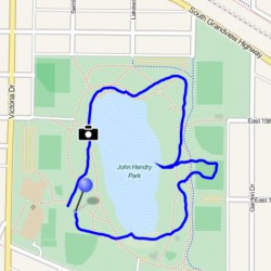
Trace by: Germaine
Location: Vancouver, BC
Distance: 1.44 km
I thought this track would correspond quite well with the outline of Trout Lake, a small lake within the city limits of Vancouver. That turned out to be somewhat accurate. A handy dock served to bring me at least part-way into the middle of the lake, as the track would have required.
Date: 27 June, 20140
Trace this track: Golf Course
Either use your current location, or enter the decimal coordinates of your desired starting point. If you are using a mobile, make sure your Location Services are enabled.
Because GPX data uses a specific location, we have a built-in GPX converter that will map the Track to your desired start location. Either use the simple "Detect My Location" option, or enter your latitude and longitude, using positive or negative decimal numbers (eg. Rio de Janiero at 22° 54' 0" West and 43° 12' 0" South would be -22.9 and -43.2). If you are on a mobile and logged in, we can email the GPX track directly to your registered email address.
For more information how to find your coordinates, please see our HOW TO.