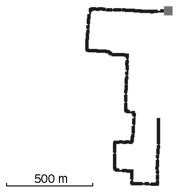
Track: Cemetery Blocks
User: TracingTracks
Location: Vancouver, BC, Canada
Distance: 2.5km
Mount Pleasant Cemetery in Vancouver is laid out like a grid-based city.
Date: 20 May, 2013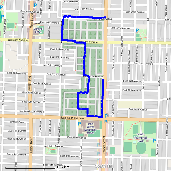
Traces of Cemetery Blocks
Add A Trace-
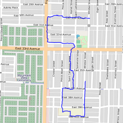
Trace by: PLAYER1
Location: Vancouver, BC
Distance: 2.74 km
The original track describes the cemetery as being laid out like a city, so I thought it would be amusing to shift the track just a few blocks from the original. The scale proved to be quite similar. I chose not to cut across private property, but use city streets and alleys. This trace was…
Date: 01 January, 19704
Trace this track: Cemetery Blocks
Either use your current location, or enter the decimal coordinates of your desired starting point. If you are using a mobile, make sure your Location Services are enabled.
Because GPX data uses a specific location, we have a built-in GPX converter that will map the Track to your desired start location. Either use the simple "Detect My Location" option, or enter your latitude and longitude, using positive or negative decimal numbers (eg. Rio de Janiero at 22° 54' 0" West and 43° 12' 0" South would be -22.9 and -43.2). If you are on a mobile and logged in, we can email the GPX track directly to your registered email address.
For more information how to find your coordinates, please see our HOW TO.