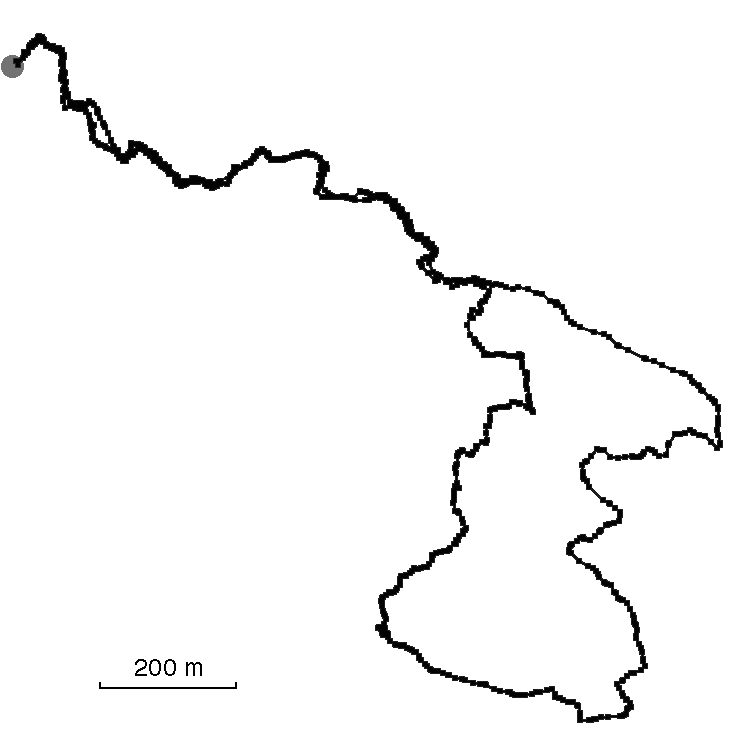
Track: Mount Erskine Loop
User: Germaine
Location: Saltspring Island, BC, Canada
Distance: 5.2km
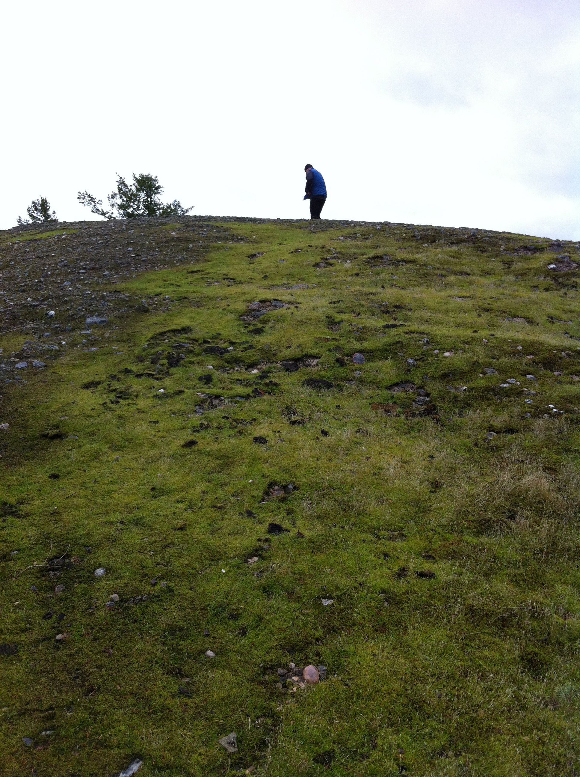
This is one of my all-time favourite hikes, to the top of Mount Erskine on Saltspring Island, BC. There is an infinite variety of moss to be seen on the way, and the exposed rock at the top is really peculiar — like some kind of coarse aggregate. ~Germaine
Date: 14 October, 2013


Traces of Mount Erskine Loop
Add A TraceBe the first to trace this track! How? Check out the How To!
Trace this track: Mount Erskine Loop
Either use your current location, or enter the decimal coordinates of your desired starting point. If you are using a mobile, make sure your Location Services are enabled.
Because GPX data uses a specific location, we have a built-in GPX converter that will map the Track to your desired start location. Either use the simple "Detect My Location" option, or enter your latitude and longitude, using positive or negative decimal numbers (eg. Rio de Janiero at 22° 54' 0" West and 43° 12' 0" South would be -22.9 and -43.2). If you are on a mobile and logged in, we can email the GPX track directly to your registered email address.
For more information how to find your coordinates, please see our HOW TO.